
Take a guided tour around UK airspace
Generated from actual radar data showing over 7,000 flights, the video graphically illustrates the daily task facing air traffic controllers and the airspace features that help make it all work.

Created by air traffic management company, NATS, the video takes viewers on a unique tour of some of the key features of UK airspace – from the four holding stacks over London and the military training zones above Wales, to the helicopters delivering people and vital supplies to the North Sea oil and gas rigs.

It finishes with an overview of the structure of UK airspace, highlighting the major air routes and showing how this ‘invisible infrastructure’ helps underpin the entire operation.
Matt Mills, NATS Head of Digital Communications, said: “We’ve made data visualisations in the past, but we wanted to now take people on a deeper journey into what makes UK airspace work and some of its important features.
“Airspace might be the invisible infrastructure, but it is every bit as important as the airports and runways on the ground.”

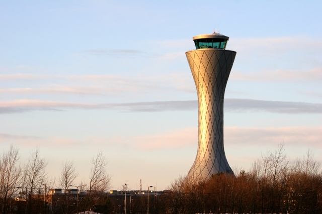
NATS is a leading air navigation services specialist, handling 2.2 million flights in 2013/14, covering the UK and eastern North Atlantic. NATS provides air traffic control from centres at Swanwick, Hampshire and Prestwick, Ayrshire. NATS also provides air traffic control services at 15 UK airports including Heathrow, Gatwick, Stansted, Birmingham, Manchester, Edinburgh and Glasgow; at Gibraltar Airport and, in a joint venture with Ferrovial, at a number of airport towers in Spain.
NATS also offers aerodrome, data, engineering and consultancy solutions to customers worldwide, including airports, air traffic service providers and Governments.