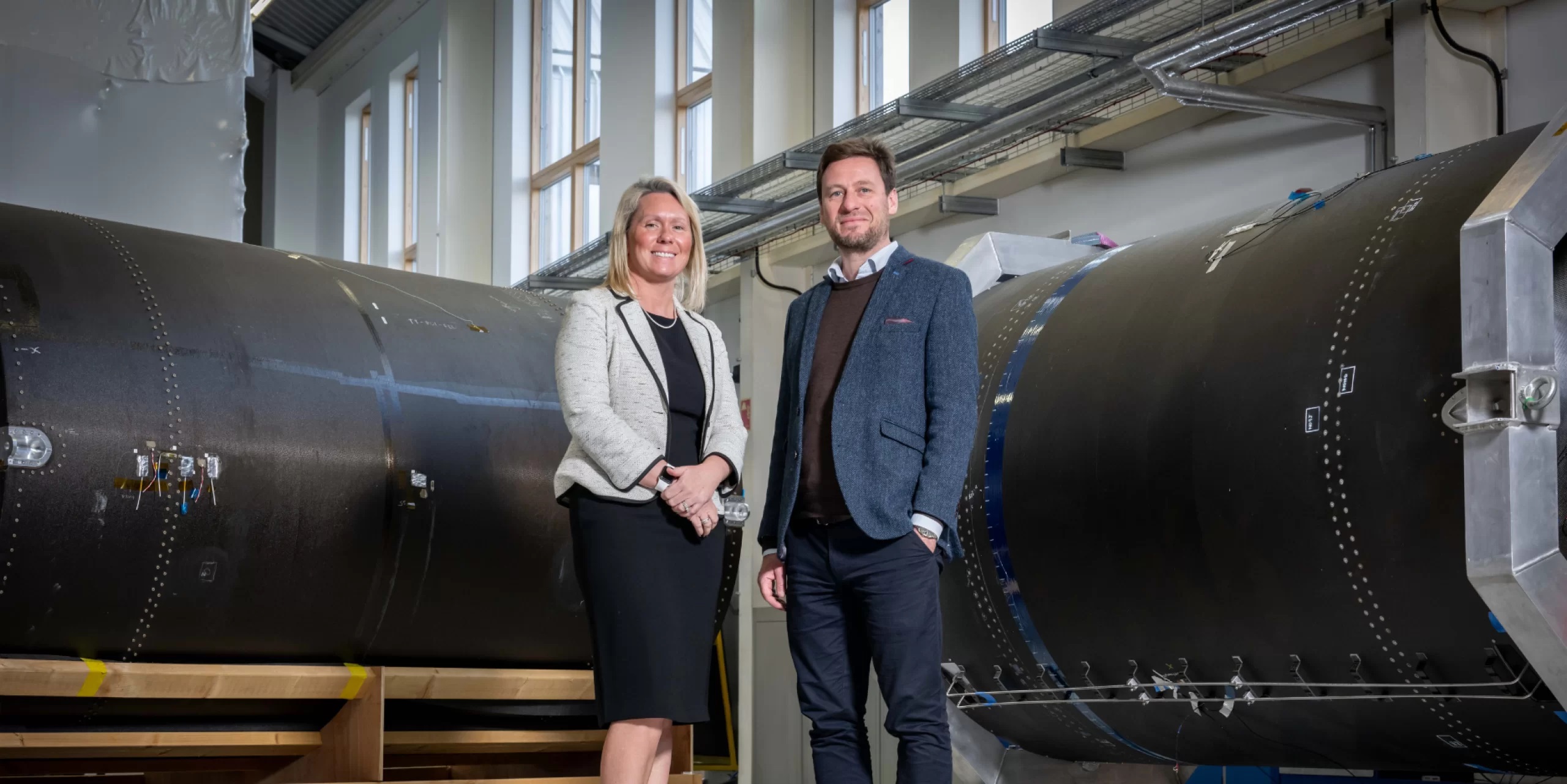

‘Ocean’ satellite Sentinel-6A takes shape

Above:
Sentinel-6 and its propulsion module (right) are now one.
Copyright Airbus / M. Pikelj
In a complex operation, the Airbus satellite specialists hoisted the approximately five-metre-high satellite platform with pin-point precision over the drive module, which had already been positioned. The two components were then fixed in place and assembled. Before this could happen, the propulsion module, which includes the engines, control devices and a 240-litre tank with an innovative fuel management system, had to undergo technical acceptance, since this subsystem can no longer be accessed once it has been integrated. The propulsion module now needs to be ‘hooked up’, which will then be followed by the system tests.

Two Sentinel-6 satellites for the European Copernicus Programme for environment and security, headed by the European Commission and ESA, are currently being developed under Airbus’ industrial leadership, each weighing roughly 1.5 tonnes. From November 2020, Sentinel-6A will be the first to continue collecting satellite-based measurements of the oceans’ surfaces, a task that began in 1992. Sentinel-6B is then expected to follow in 2025.

Copyright ESA
Sentinel-6 is a mission to carry out high-precision measurements of ocean surface topography. The satellite will measure its distance to the ocean surface with an accuracy of a few centimetres and, over a mission lasting up to seven years, use this data to map it, repeating the cycle every 10 days. It will document changes in sea-surface height, record and analyse variations in sea levels and observe ocean currents. Exact observations of changes in sea-surface height provide insights into global sea levels, the speed and direction of ocean currents, and ocean heat storage. The measurements made are vital for modelling the oceans and predicting rises in sea levels.

These findings enable governments and institutions to establish effective protection for coastal regions. The data is invaluable not only for disaster relief organisations, but also for authorities involved in urban planning, securing buildings or commissioning dykes.
Global sea levels are currently rising by an average of three millimetres a year as a result of global warming; this could potentially have dramatic consequences for countries with densely populated coastal areas.