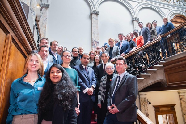
Five projects to use satellite data to drive public services

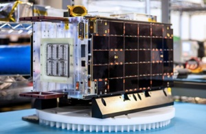
Above: GHGSat C9, C10 and C11 launched in space.
Courtesy UKSA / Credit GHGSat
The new projects bring innovative space companies together with public sector partners, ranging from local councils to government agencies. They will use a wealth of data from existing satellite networks to help monitor the safety of buildings and infrastructure, track animal and plant life, identify methane leaks and ensure farmers can access the right government support schemes.

Minister for Space, Sir Chris Bryant, said: "Space technology will help us deliver our Plan for Change by providing solutions to everyday challenges we face on Earth, like climate change.
"Through these projects, we are putting satellite data to work to make sure our public services are delivering good value for money for British people, spotting safety issues in buildings, monitoring greenhouse gases in our atmosphere, and helping farmers support wildlife."
Over £2.5 million of funding, announced today at the European Space Agency’s Living Planet Symposium 2025, in Vienna, comes after a joint call for proposals from the UK Space Agency and ESA’s InCubed2 programme, which was launched in July 2024.
Harshbir Sangha, Director of Missions and Capabilities at the UK Space Agency, said: "By bringing together innovative space companies with public sector partners, we’re demonstrating that space technology delivers practical benefits here on Earth. From monitoring biodiversity to ensuring infrastructure safety, these initiatives show how satellite data can drive efficiency, sustainability and better decision-making.
"This investment reflects our commitment to establishing the UK as a global leader in space-enabled public services, creating a blueprint for how space technology can address some of our most pressing societal challenges."
The projects
- CORE: COrner Reflector Enabled Remote Sensing
Geospatial Ventures in Nottingham is developing a system that tracks tiny movements in buildings, bridges and other structures to spot potential safety issues early. The system uses special radar technology and artificial intelligence to constantly monitor infrastructure that might be difficult or expensive to check manually. This provides a safer, more efficient way to survey large sites without sending engineers to dangerous locations.
- THICKET: a biodiversity mapping tool
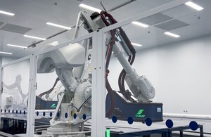
AAC Clyde Space in Glasgow is creating a tool that helps farmers support wildlife on their land. Using their own constellation of satellites that frequently capture detailed images, the system will show farmers exactly what plants and animals are living on their land. This will help farmers make better decisions about sustainable farming and access government support schemes like the Sustainable Farming Incentive.
- Government GHG service
GHGSat UK in London is developing an advanced analytics platform that turns satellite data about greenhouse gases into practical information the government can use for increased accountability across emitting organisations and tailored mitigation strategies. Their constellation of satellites, which trace the source of greenhouse gases directly to industrial facilities focuses particularly on methane, providing accurate data within hours of an emission to help the UK government make informed decisions about reducing these harmful gases. This supports the government’s goal to reach net-zero emissions by 2050.
- FANTOM - Future Analytics
Earth-i in Guildford is building a system that creates useful environmental information from satellite images by developing novel indicators for environmental land monitoring. It will provide analytics directly to the Rural Payments Agency, which manages farming subsidies and environmental schemes. The service will help monitor land changes and support sustainable land management across the UK.
- EO4Biodiversity
HR Wallingford in Oxfordshire is leading a project that uses satellite information to help improve plant and animal diversity. Working with multiple partners, including Water Resources South East, they’re developing ways to use Earth Observation data to track biodiversity changes over time. This will help landowners, developers and public bodies protect and enhance natural habitats and support the UK government’s biodiversity net gain requirements.
UKspace Executive Director, Colin Baldwin, said: "This investment into the application of satellite data into downstream services covering infrastructure, biodiversity, agriculture, methane emissions and sustainability is very welcome.
"For some time, we have been working with our members and through our committees to highlight how the space industry can bring immense value to the public sector, so we are very encouraged to see the Government recognising the opportunity. Several UKspace member companies are benefiting from this programme and we look forward to seeing their ideas being adopted into new and improved operational services."
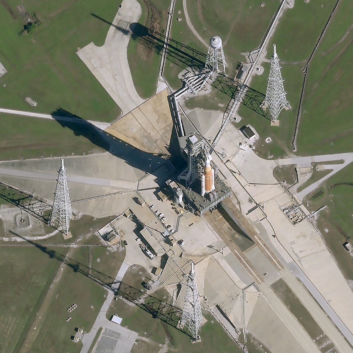
On Monday the Living Planet Symposium hosted a ceremonial signing of the ground segment development contract awarded to Telespazio UK for the TRUTHS mission, a UK-led climate mission developed with the European Space Agency. Under this agreement, Telespazio UK will be responsible for designing and developing the ground systems needed to receive, process, and distribute TRUTHS satellite data. Their role is vital to ensuring that this highly accurate climate data reaches scientists, policymakers, and organisations worldwide to support better climate monitoring and action.
The UK Space Agency is also due to launch a climate funding call, offering up to £300,000 in funding to help UK organisations develop new climate services using Earth Observation satellite data. These small grants, between £40,000 and £80,000 per project, are aimed at supporting early ideas that improve tools or services for tackling climate change, protecting nature, or helping society make more informed decisions for the planet.
Space is identified as a frontier industry in the government’s new Industrial Strategy, launched earlier this week, where investment supports both economic growth and security. The Industrial Strategy is a 10-year plan to increase business investment and grow the industries of the future in the UK.
UKspace Executive Director, Colin Baldwin, said: "This investment into the application of satellite data into downstream services covering infrastructure, biodiversity, agriculture, methane emissions and sustainability is very welcome.
"For some time, we have been working with our members and through our committees to highlight how the space industry can bring immense value to the public sector, so we are very encouraged to see the Government recognising the opportunity. Several UKspace member companies are benefiting from this programme and we look forward to seeing their ideas being adopted into new and improved operational services."
On Monday the Living Planet Symposium hosted a ceremonial signing of the ground segment development contract awarded to Telespazio UK for the TRUTHS mission, a UK-led climate mission developed with the European Space Agency. Under this agreement, Telespazio UK will be responsible for designing and developing the ground systems needed to receive, process, and distribute TRUTHS satellite data. Their role is vital to ensuring that this highly accurate climate data reaches scientists, policymakers, and organisations worldwide to support better climate monitoring and action.
The UK Space Agency is also due to launch a climate funding call, offering up to £300,000 in funding to help UK organisations develop new climate services using Earth Observation satellite data. These small grants, between £40,000 and £80,000 per project, are aimed at supporting early ideas that improve tools or services for tackling climate change, protecting nature, or helping society make more informed decisions for the planet.
Space is identified as a frontier industry in the government’s new Industrial Strategy, launched earlier this week, where investment supports both economic growth and security. The Industrial Strategy is a 10-year plan to increase business investment and grow the industries of the future in the UK.