
British company iGeolise wins UK leg of Global SatNav Competition

Above:
Travel Time Map on Travel Time Application from iGeolise.
Courtesy iGeolise
The iGeolise 'Travel Time' satellite navigation solution is an innovative use of satellite technology, allowing users to search for content according to how much time the journey takes, rather than its distance away.

Using satellite-derived maps overlaid with public transport data, road travel time information and average walking speeds, it can rank and sort several thousand points by travel time virtually instantly (doubling the results of current distance technology).
Have you ever wondered what jobs are available within a 30 minute drive from your home or how many restaurants there are within a 10 minute walk? Travel Time is working to provide all of this information and more.

Young entrepreneur, Charlie Davies and his business partner Peter Lilley founded iGeolise in 2009 and today, Travel Time technology provides time-based searches in New York, San Francisco and across the UK. The technology is able to use any map as its base data source and therefore could be used virtually anywhere across the globe.
The European Satellite Navigation Competition (ESNC) competition received over 400 business ideas, 77 of which were from the UK (the highest number of any territory). iGeolise were entered into the European competition and came in a close third, only one point behind the two winners that tied for first place.
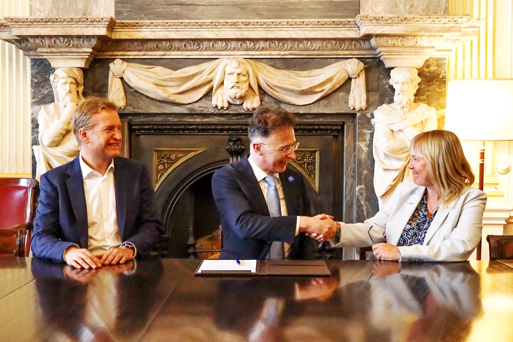
Catherine Mealing-Jones, Director for Growth, Applications and EU Programmes at the UK Space Agency said, “Peter and Charlie are representative of a key part of the future of the British space sector – providing intelligent, market-driven solutions for every day problems. I want to ensure that the UK Space Agency supports businesses like iGeolise in spotting opportunities, so their experience with space technology can meet the needs of the wider market."