Teledyne e2v sets sights on Aeolus-2
Above:
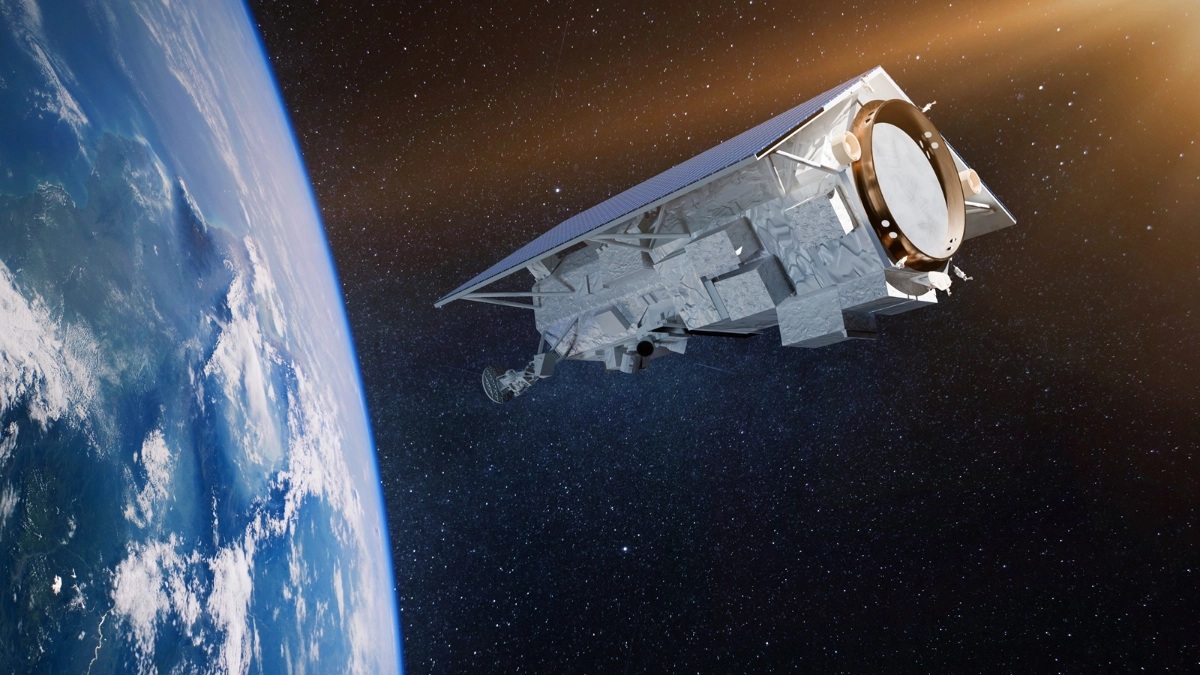
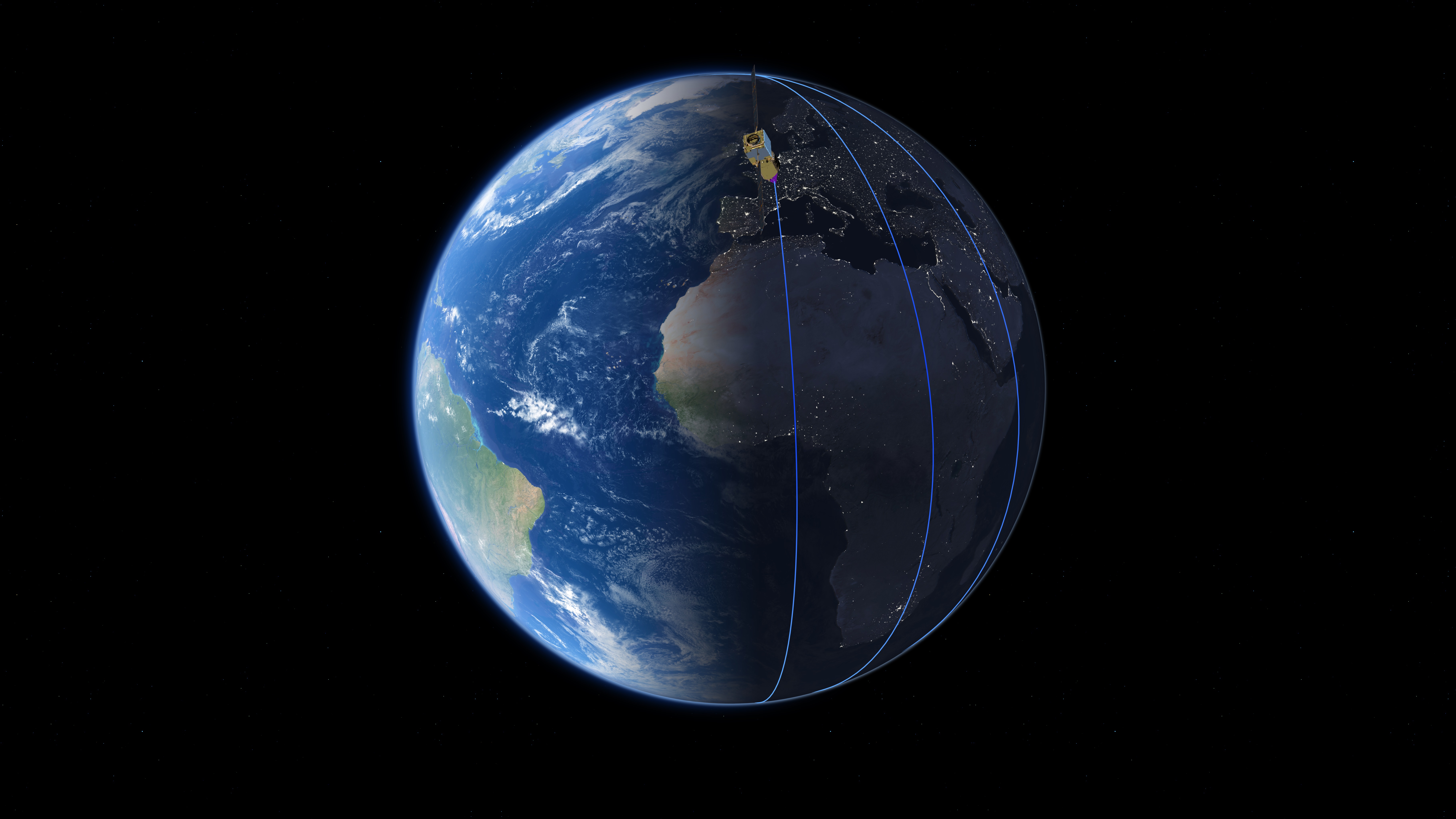
ESA’s Aeolus wind satellite flies in a polar, Sun-synchronous orbit at an altitude of 320 km.
© ESA/ATG medialab
Teledyne e2v Space Imaging designed and built sensors for Aeolus, the first ESA satellite mission to acquire profiles of Earth’s wind on a global scale.
Named after the Greek god of the winds, Aeolus is the fifth satellite in the Living Planet Programme of the European Space Agency. It has become one of the highest impact-per-observation instruments in existence. It is capable of observing weather systems from the surface of the planet and into the stratosphere 30 km high. This has helped to predict how that environment will behave in the future.

Since 2018, the data from the Aeolus satellite observations have been used to improve weather forecasts and climate models. They have also been used for tracking Saharan dust storms and enabling better understanding of plumes from volcanoes. The Aeolus mission has paved the way for future operational meteorological satellites dedicated to study Earth's wind profiles.
The Teledyne team manufactured a bespoke sensor for Aeolus with a novel design specifically for this application. It collects many signals from different altitudes, enabling Aeolus to measure wind speed at different heights throughout the atmosphere.
Paul Jerram, Chief Engineer on the Teledyne e2v Aeolus team, said: “The Teledyne Space Imaging team have enjoyed being part of this successful demonstrator mission which has far exceeded expectations. We look forward to building a detector with improved performance for the Aeolus-2 follow-up mission. We are proud to have assisted most of the world's weather forecasting agencies in improved accuracy of long-range forecasts.”
This month, ESA is setting a precedent with the assisted decommissioning of the now retired Aeolus wind tracking satellite. This will demonstrate to the growing commercial space industry that it is possible to responsibly end space missions and reduce the amount of space debris objects in orbit.
The Teledyne e2v Space Imaging team continue to specialise in bespoke detectors to meet the ever-increasing number of Earth Observation missions.