Teledyne Space Imaging sensors pivotal to NASA explorer missions
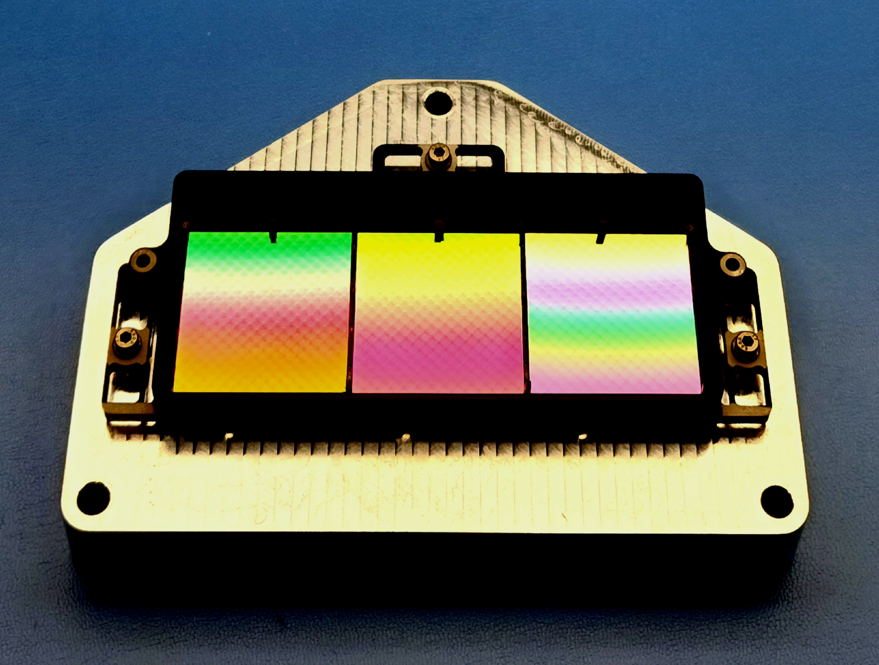
Above: The SPHEREx focal plane mosaics.
Courtesy Teledyne Technologies / copyright of Jamie Bock Caltech JPL NASA
Both missions launch on the same rocket on 28th February 2025 from Vandenberg Space Force Base, California, USA.
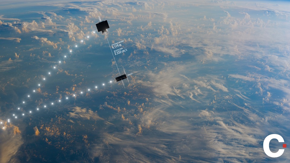
The PUNCH mission (Polarimeter to UNify the Corona and Heliosphere) is led by Teledyne Space Imaging customer, Southwest Research Institute on behalf of NASA. It is a small explorer mission with four separate satellites flying in constellation in a sun-synchronous low-earth orbit.
PUNCH will take pictures of the solar corona from the outermost solar atmosphere through to the inner heliosphere using continuous 3D deep-field imaging. The data will increase understanding about how coronal structures transform into solar wind.
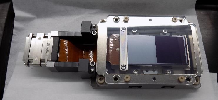
Above:
Copyright Teledyne Space Imaging
Teledyne Space Imaging in Chelmsford, UK, built the CCD230-82 image sensors for PUNCH by taking existing designs and customizing them to meet highly precise specifications. The sensors were extensively modelled and tested to ensure they can withstand the hostile space environment for the duration of the mission.
Katherine Lawrie, Product Verification and Test Manager at Teledyne Space Imaging, said: “I have worked on PUNCH since 2018 when we first bid for the project. To see it come to fruition and launch this year alongside SPHEREx is extremely exciting. We have enjoyed a long-standing working relationship with NASA at Teledyne Space Imaging and this dual launch builds on our heritage of previous missions we have carried out with them. We are delighted to be able to extend our knowledge and experience in this exciting area of space and are looking forward to the launch date immensely.”
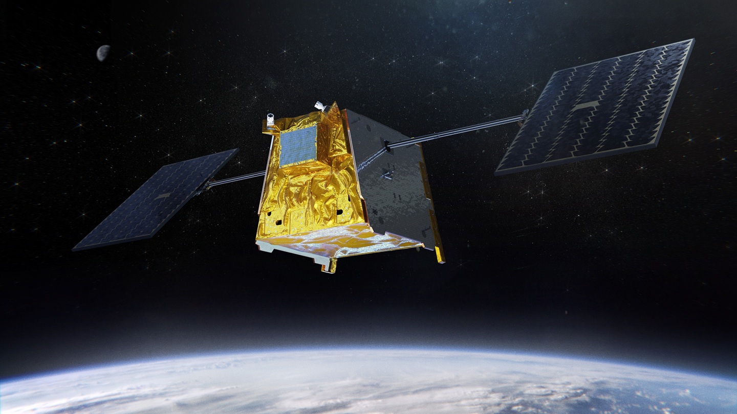
Launching on the same Falcon 9 rocket from SpaceX in a rideshare arrangement is SPHEREx – NASA’s first all-sky infrared spectroscopic survey mission. Teledyne Space Imaging in Camarillo, California, designed, built and installed six short-wave and mid-wave H2RG focal plane array sensors for SPHEREx, which stands for Spectro-Photometer for the History of the Universe, Epoch of Reionization and Ices Explorer. The mission will collect data on more than 450 million galaxies and more than 100 million stars in the Milky Way, with the ultimate goal of furthering humanity’s knowledge about the origins of the universe.
Meghan Dorn, Astronomy and Earth Observation Market Segment Manager at Teledyne Space Imaging, added: “Teledyne started working on the SPHEREx contract at the end of 2019, delivering the detectors in 2022. We are thrilled to now be ready to see the mission launch at the end of this month. Once it is in place, there will be a total of 133 Teledyne-designed infrared sensors in space, which is a truly impressive feat and one of which we are all very proud.”
Teledyne Space Imaging delivers engineered and complex space solutions, manufacturing advanced electronics, imaging and sensor systems for operation in the growing global space economy.


