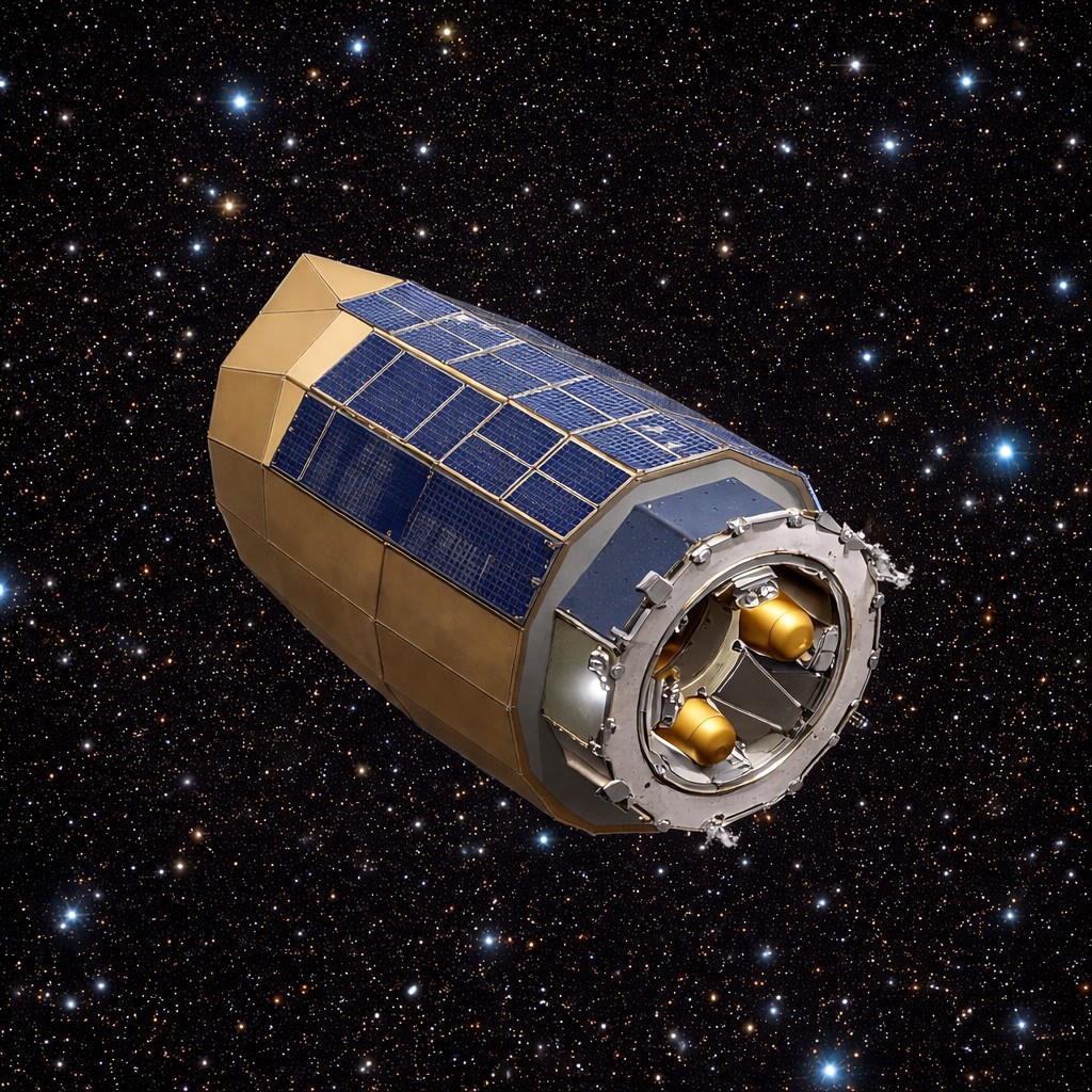
Airbus-built Sentinel-6B climate satellite launched
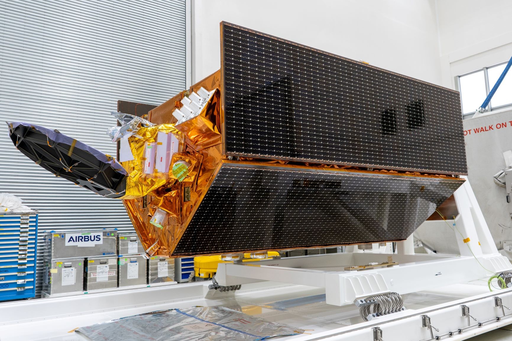
Above: Airbus-built Sentinel-6B satellite before departing to launch site.
Copyright Airbus
This is the second of two identical satellites built to continue collecting essential sea-surface height data until at least 2030. The first satellite, Sentinel-6 Michael Freilich, was launched in November 2020.

For its first year, Sentinel-6B will join Sentinel-6 Michael Freilich in orbit, allowing both instruments to collaborate, thus providing the most accurate data on global sea levels. This information is fundamental in warning coastal countries of potential dangers and for continuity of successful ocean weather forecasts.
“The launch of this satellite will play a crucial role in advancing ongoing research while building upon the significant progress already achieved. Accurate sea-level measurements are invaluable data to help protect coastal communities and guide global climate action,” said Alain Fauré, Head of Space Systems at Airbus.
Sentinel-6B will carry out high-precision ocean surface topography measurements. By sending radar pulses to the ocean surface and recording how long they take to return, it enables measurements with an accuracy of a few centimetres. In addition to measuring global sea level rise and ocean circulation, the satellite will record vertical profiles of atmospheric temperature and humidity.
With sea levels rising at an accelerated rate, Sentinel-6B will ensure the continuation of long-term data records essential for informing climate adaptation and mitigation strategies to prepare for future impacts.

This is one of more than twenty climate-monitoring initiatives for which Airbus has served as prime contractor. Collectively, these satellites deliver critical insights into the reality of our changing planet.
The satellite is on a 1336 km non-Sun-synchronous orbit with an inclination of 66 degrees so that it passes over locations at different times of the day and night, enabling it to measure changes that may vary throughout 24-hours, like the tides. The satellite weighs approximately 1.3 tons.
The Sentinel-6 mission is part of the European Union Copernicus Programme for the environment. This mission comprises two satellites and has been developed under Airbus’ industrial leadership. While it is a European mission, Sentinel-6 is a true example of international cooperation: it has been jointly developed by ESA, NASA, EUMETSAT and NOAA, with support from CNES.