Advancing UK Aerospace, Defence, Security & Space Solutions Worldwide
  • Home
  • /
  • Space
  • /
  • Astrium unveils first WorldDEM sample data

Space

Astrium unveils first WorldDEM sample data

Astrium, world's second-ranking space company, has released the first WorldDEM sample data sets for evaluation purposes, enabling potential customers to begin testing data for varied applications including line-of-sight analysis, 3D visualisation or orthorectification of satellite imagery

Above: WorldDEM Digital Elevation Model of an area in South Province, Iceland.

The sample data also facilitates testing of the Digital Elevation Models (DEMs) in the users’ data management environments. After evaluating the data, users can provide feedback to Astrium Services, helping to enhance the WorldDEM offering and its services.

Advertisement
DSEI 2025

“This is an opportunity for potential customers to test the WorldDEM data and experience firsthand the remarkable level of accuracy of the WorldDEM, that will surpass that of any satellite-based global elevation model available today,” said Vark Helfritz, Director of GEO-Information Corporate Development at Astrium Services.

The WorldDEM sample data, feature two different variants:
• the basic Digital Surface Model (DSM), including the heights of all natural and man-made objects;
• DSM hydro, where water body features derived from the radar data are extracted and edited.

WorldDEM is based on data acquired by the German high-resolution radar satellites TerraSAR-X and TanDEM-X and will be available starting in 2014. The two satellites acquire up to four coverages of the Earth’s surface. The combined processing of these various data takes will ensure the global consistency and quality of the final WorldDEM™ product.

Advertisement
Gulfstream RT

The first and second coverages of the Earth’s land surface for WorldDEM have been completed, with the second coverage achieved in mid-2013. TerraSAR-X and TanDEM-X are now acquiring additional data takes of challenging terrain such as high-altitude mountain ranges. For this final stretch of the acquisition campaign, the formation of TerraSAR-X and TanDEM-X was revised. At the start of the mission TanDEM-X circled around TerraSAR-X in an anti-clockwise direction, following the satellite swap it is now clockwise. This change of formation was necessary to view complex mountainous terrain from a different viewing angle, eliminating missing information due to radar effects.

The TerraSAR-X and TanDEM-X missions are implemented as a Public Private Partnership between the German Aerospace Center DLR and Astrium. Astrium Services holds the exclusive commercial marketing rights for the data and is responsible for the adaptation of the elevation model to the needs of commercial users worldwide.


WorldDEM sample data can be accessed at: www.astrium-geo.com/worlddem-sampledata
 

Advertisement
Babcock LB
Expleo’s science-based climate action targets approved by SBTi

Aerospace Defence Space

Expleo’s science-based climate action targets approved by SBTi

27 June 2025

Expleo's near and long-term science-based emissions reduction targets have been validated by the Science Based Targets initiative (SBTi).

Serco launches Net Zero Standard for suppliers

Aerospace Defence Security Space

Serco launches Net Zero Standard for suppliers

25 June 2025

Serco has today launched a new Net Zero Standard for its suppliers, demonstrating its commitment to sustainable procurement and to partnering with its suppliers to reach Net Zero emissions by 2050 or sooner.

Five projects to use satellite data to drive public services

Space

Five projects to use satellite data to drive public services

24 June 2025

Five projects from across the UK will use satellite data to help transform the delivery of public services, thanks to new funding from the UK Space Agency.

CGI to deliver core ground segment for ESA

Space

CGI to deliver core ground segment for ESA's TRUTHS satellite mission

24 June 2025

CGI as been selected as the provider of the Payload Data Ground Segment (PDGS) for the European Space Agency’s (ESA) TRUTHS mission, a pioneering Earth Observation satellite designed to enhance global climate monitoring and enable cross-calibration of EO missions.

Advertisement
DSEI 2025
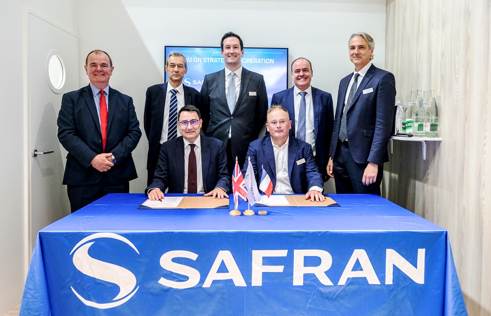
Safran and Babcock advance Franco-British defence collaboration at Paris Air Show

Defence Space Events

Safran and Babcock advance Franco-British defence collaboration at Paris Air Show

18 June 2025

Safran Electronics & Defense and Babcock International Group, have announced plans to increase collaboration across multidomain mission systems, aircraft engines, space systems, tactical and strategic communications.

Astroscale awarded £5.15m contract for Orpheus mission

Defence Security Space

Astroscale awarded £5.15m contract for Orpheus mission

16 June 2025

Astroscale Ltd has been awarded a contract worth £5.15 million by the UK’s Defence Science and Technology Laboratory (Dstl), via BAE Systems as the Dstl Serapis Framework lead.

Advertisement
Gulfstream RT