

Evolving aviation weather intelligence: The Met Office’s new MAVIS platform

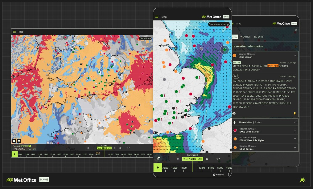
Image courtesy Met Office
When emergency helicopter crews need to make split-second decisions about flying conditions supporting critical rescue missions, they rely on trusted weather intelligence. The same applies to commercial airlines planning their exact routes, air traffic controllers managing complex airspace and balloonists checking conditions for their next flight.
For over 20 years, this very diverse user group has accessed Met Office aviation weather services through several different platforms: Aviation Briefing Service, Network Weather Resilience, HeliBrief and OpenRunway. Now, the Met Office is bringing them together into a single, integrated platform called the Met Office Aeronautical Visualisation Service, or MAVIS.
A strategic response to industry changes
The aviation sector is operating in what the Met Office describes as ‘a radically changing world’. Climate impacts are creating more extreme weather events. At the same time, the industry faces pressure to modernise whilst maintaining the highest safety standards.
Lauren Donohue, Aviation Business Manager at the Met Office, explained: "MAVIS is a big improvement in how we support aviation decision-making. We’ve put everything in one place and listened to what users want, so it’s quicker and simpler to use. Essentially, MAVIS is here to make aviation professionals’ jobs easier.”
Built through collaboration
MAVIS is not just a tech update. The Met Office worked closely with the aviation community throughout the design process. User research across several different sectors, from offshore helicopter operators to gliding clubs to major airports, helped to make sure the product fits the users’ needs.
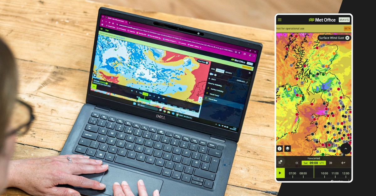
The platform provides access to essential meteorological data including METARs (Meteorological Aerodrome Reports), TAFs (Terminal Aerodrome Forecasts), weather charts and interactive map layers. It presents this information through tailored views relevant to specific operational requirements.
Supported by the Met Office’s new cloud-based supercomputing capability, MAVIS can handle vast amounts of weather data and translate it into clear, actionable intelligence. The system maintains the regulated service standards required by the Civil Aviation Authority (CAA), ensuring continuity for over 80.000 users who rely on Met Office aviation weather services.
A phased approach
Following a successful private beta phase earlier this year, MAVIS entered public beta in September 2025. This testing period, running through December, allows users to test and explore the platform, familiarise themselves with its features and provide feedback that will shape its development.
"The public beta phase is an important opportunity for users to explore MAVIS and help shape its future," said Donohue. "MAVIS will continue to evolve and we welcome input to help us shape a service that truly supports the needs of the aviation sector."
The Met Office has built like-for-like functionality for all existing regulated products but has also incorporated new features based on user feedback. These further developments and improvements are planned for after the full migration in March 2026. Users are encouraged to register and provide input now to help prioritise which new capabilities are developed first.
Sign up here.
The full rollout follows four phases:
- Public beta (September-December 2025): Open testing with feedback collection
- Dual running (December 2025-January 2026): Both legacy and new systems operating simultaneously
- Final migration (February-March 2026): Complete transition to MAVIS
- Ongoing development (2026 and beyond): Continuous improvements
MAVIS is rolled out in stages to ensure continuity of service, which is critical when weather data directly impacts aviation safety. Legacy services will remain up and running until March 2026.
Maintaining trust whilst innovating
The platform continues to provide the regulated (free of charge) services that UK aviation users have relied on for years. Whether you’re a student pilot, an emergency helicopter crew, or managing operations at a major airport, access to essential weather intelligence remains uninterrupted.
MAVIS also offers extra commercial features for businesses and organisations that need advanced capabilities, bespoke forecasting, sophisticated visualisation tools, and tailored data services. As the capabilities of MAVIS develop, we will ensure that the flexibility we are striving towards means the platform can support operations ranging from local flying clubs to international airlines. Follow the development log and check if the function you require is already on the back log.
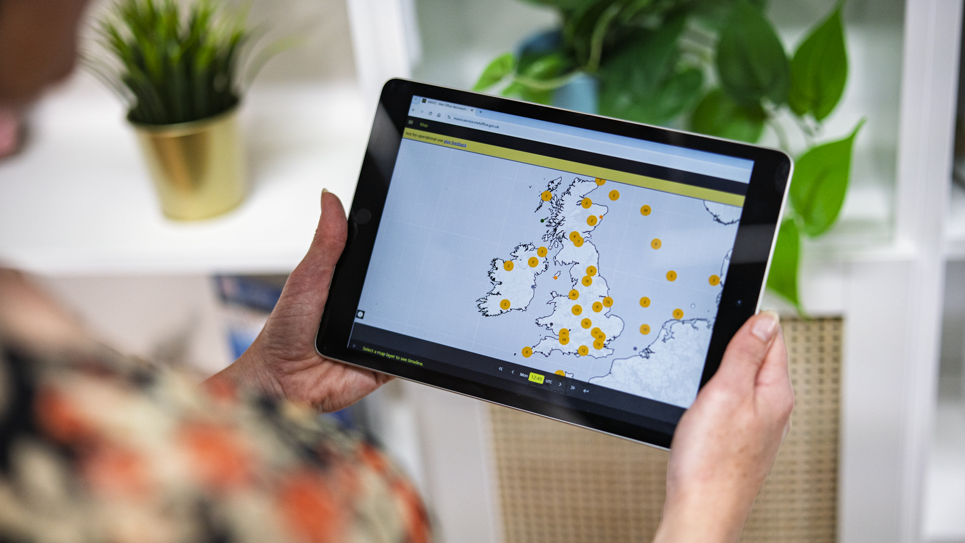
Features that will be enhancements to the existing services include:
- Map layers that better describe
– Visibility, Cloud base, precipitation type
– Hourly time steps, in the forecasts out to five days ahead
– Ability to pin your favorite map layers for quick access - Ability to set user defined thresholds and colour coding of METAR and TAF plus, as well as the ability to show only the aerodromes that the user defines
- Access to all regulated forecast reports and charts. Premium users will also have direct access to their bespoke forecasts from MAVIS
The Met Office’s broader aviation portfolio complements MAVIS, including embedded operational meteorologists who work within airline operations centres, Aviation Data Services providing API access to high-resolution weather data, and specialist training.
Users can access MAVIS now by visiting the platform. The Met Office provides comprehensive FAQs, training resources and more via the MAVIS webpages.
We’d love to hear from you
Your feedback helps us make MAVIS better for everyone. If you’d like to share your experience via a quick chat and help shape future improvements, please complete the form: Take Part in Met Office Aeronautical Visualisation Service (MAVIS) Research – Fill out form
As legacy aviation weather services prepare for retirement in Spring 2026, MAVIS represents the Met Office’s commitment to delivering what the aviation community has asked for: trusted weather intelligence, modernised for a changing world and delivered through a platform designed around how the sector actually works.
Sign up for our newsletter and get our latest content in your inbox.
Similar Reads





Sign up for our newsletter. Select all sectors relevant to you.
Related