Airbus-built CO3D constellation launched
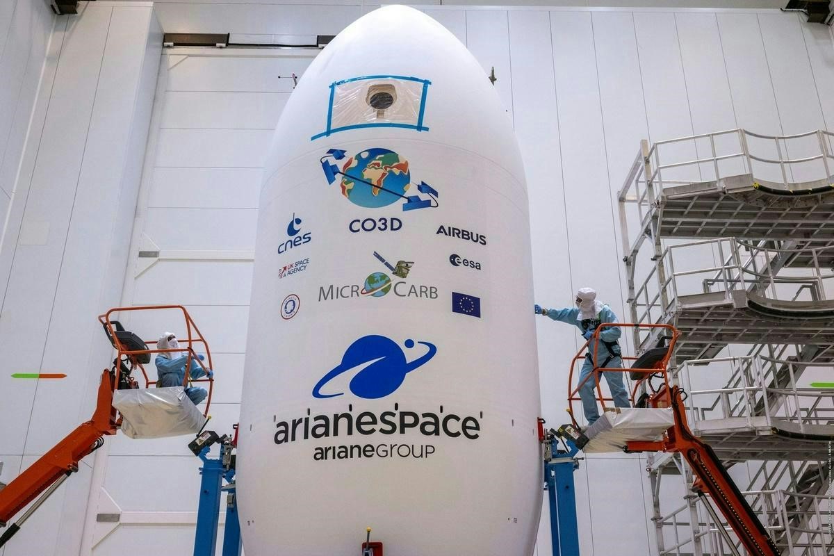
Above: Closing of the fairing.
Copyright CNES/ESA/Arianespace/optique video CSG/S Martin 2025
The satellites, developed in partnership with the French Space Agency (CNES), will now commence their mission to create a highly detailed 3D map of the Earth’s surface.
The dual-use CO3D satellites will deliver a global high-resolution Digital Surface Model (DSM), providing 50 cm stereo imagery to CNES, and 2D imagery to government and commercial clients, further strengthening Airbus' comprehensive suite of optical and radar satellite solutions.

“The successful launch of the CO3D constellation is a testament to European ingenuity and a major step forward in our first class Earth observation capabilities,” said Alain Fauré, Head of Space Systems at Airbus. “Thanks to our strong partnership with CNES, these satellites, based on our next-generation S250 product, can now deliver a game-changing 3D map of our planet and provide high revisit and high resolution observation capabilities. This programme, which is already attracting significant interest in today’s geopolitical context, showcases our commitment to technological, industrial, and commercial innovation.”
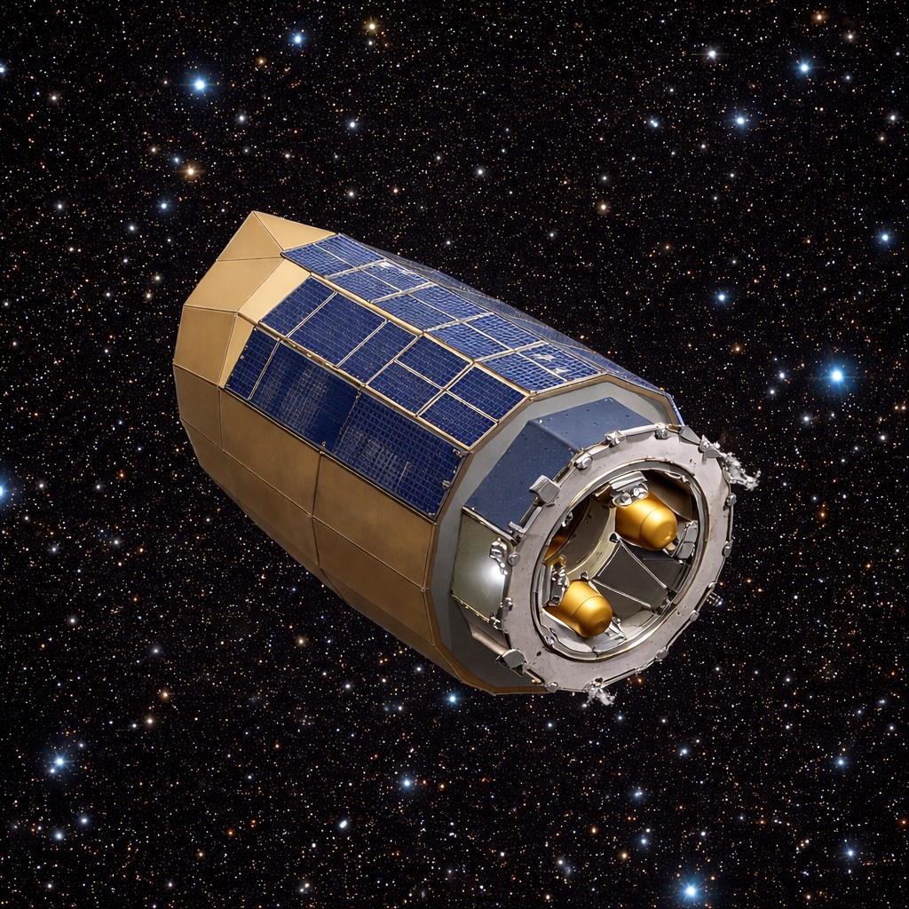
The four 285 kg satellites are now in a Sun synchronous orbit at an altitude of 502 km. Over the next six months, they will undergo in-orbit testing before beginning an 18-month campaign to deliver a 3D map of France and the ‘crisis arc’ to CNES. The data will feed a cloud-based ground segment operated by Airbus to produce the final 3D map, supporting critical military and civil applications ranging from geology and hydrology to urban planning and civil security.
The CO3D satellites feature several technological innovations, including a new observation mode, called Step and Stare. Each satellite uses its matrix detector to shoot images (Stare) and pave the area of interest with images of about 7km x 5km. The spacecrafts’ outstanding agility allows them to quickly reposition between successive pictures (Step) allowing each of them to provide the user with 7, 14, 21 or 28km swath images.

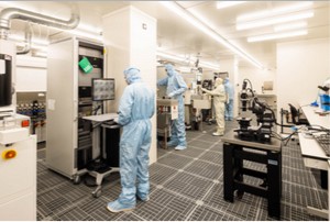
The CO3D programme benefits from manufacturing expertise gained from the OneWeb constellation satellites’ development, utilising a modern, digitalised assembly line in Toulouse that draws inspiration from the automotive and aeronautical industries. Several pieces of equipment use commercial off the shelf components that are adapted for use in Space to provide CO3D with the best performance from the wider industrial domain as well as a customised level of space-ready quality.
Also successfully deployed on the same launch was the MicroCarb satellite, a joint mission between CNES and the UK Space Agency. Equipped with a high-precision Airbus-made spectrometer, Microcarb will map atmospheric carbon content on a planetary scale, providing vital data to climate scientists.