Advancing UK Aerospace, Defence, Security & Space Solutions Worldwide
  • Home
  • /
  • Space
  • /
  • ICEYE awarded EMSA contract to enhance maritime ops through SAR

Space

ICEYE awarded EMSA contract to enhance maritime ops through SAR

ICEYE today announced the start of a multi-year framework contract with the European Maritime Safety Agency (EMSA) to support their efforts in managing various aspects of maritime operations with Synthetic-Aperture Radar (SAR) data.

Above: 
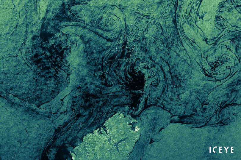
ICEYE SAR satellite nighttime image showing vessel traffic on Mediterranean Sea, nearby Malta. ICEYE’s imaging is particularly effective for maritime domain awareness applications enabling persistent visibility into large sea areas up to 50,000 km2 with a single image, despite clouds and darkness.
Courtesy ICEYE

Advertisement
ODU RT

Among its many missions, the European Union agency, EMSA, provides technical expertise and operational assistance in reducing the risk of maritime accidents and assisting in response and recovery from marine pollution from ships and oil installations.

The Agency supports the maritime surveillance activities of the national authorities of EU Member States linked with a wide range of coastguard functions. ICEYE will deliver SAR imagery to EMSA over these next years to enhance their operational support to a wide range of European organisations, in the scope of EMSA's Earth Observation Services.

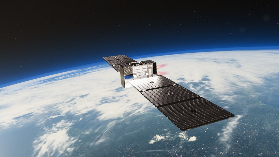
ICEYE owns the world's largest SAR satellite constellation and the data from its spaceborne sensors can be combined with multiple auxiliary information sources from the ground. ICEYE expects that this agreement will improve the efficiency and speed of the incredible work EMSA is doing already.

"Just like our satellites, maritime operations operate around the clock. Radar imaging technology can see the earth day and night and in all weather conditions", said Pekka Laurila, ICEYE Co-Founder and Chief Strategy Officer. "Space based imagery is an ideal tool to quickly, efficiently and effectively support maritime disaster response and recovery operations, as well as to enforce EU maritime regulations and support local authorities."

At any given time, 70% of the Earth is covered in clouds or darkness. Unlike traditional Earth observation satellites, ICEYE's small radar imaging satellites can form high-resolution images of areas of the Earth in daylight, at night, and through cloud cover. In other words, they can 'see' any part of the Earth multiple times a day.

ICEYE's satellites can collect images over wide areas and even more detailed images over smaller points of interest such as a ship or oil facility. This provides customers with persistent coverage of fast breaking events on the ground in all weather conditions.

Advertisement
ODU RT


Advertisement
General Atomics LB
ESA officially adopts ARRAKIHS as F2 Mission

Space

ESA officially adopts ARRAKIHS as F2 Mission

12 June 2026

The European Space Agency (ESA) has officially adopted ARRAKIHS as its second FAST-class (F2) scientific mission, with the University of Surrey leading the UK’s role in the project to uncover the hidden history of galaxies ahead of a confirmed target launch date of 2030.

UK funding boosts breakthrough space tech

Space

UK funding boosts breakthrough space tech

11 June 2026

At London Tech Week, UK Space Minister Liz Lloyd unveiled more than £19 million to support British companies developing next-generation space technologies.

Tekever and Sapient Perception to explore airborne ISR sensing integration

Aerospace Security Space

Tekever and Sapient Perception to explore airborne ISR sensing integration

9 June 2026

Tekever and Sapient Perception have signed a Memorandum of Understanding to explore the integration and evaluation of Sapient Perception’s 10K camera system on Tekever uncrewed aerial systems.

NewOrbit to open Earth’s last empty orbit

Space

NewOrbit to open Earth’s last empty orbit

8 June 2026

Between commercial aircraft at 10 km and conventional satellites at 500 km lies a band of near-Earth space, called very low earth orbit (or VLEO), which until now, has not been accessible for commercial space flight.

Advertisement
ODU RT
Britain’s Mars lander plaques land across the UK

Space

Britain’s Mars lander plaques land across the UK

5 June 2026

A series of commemorative red plaques will tell the story of Beagle 2, the pioneering British spacecraft that, against all odds, made it to the surface of Mars.

DSEI Germany adds fourth exhibition hall

Defence Security Space Events

DSEI Germany adds fourth exhibition hall

3 June 2026

The organisers of DSEI Germany have announced that, due to unprecedented industry demand, they will be opening a fourth exhibition hall ahead of its debut in March 2027.

Advertisement
ODU RT
Advertisement
FIA2026 animated banner